Buru Energy will feed appraisal drilling plans by collecting 200 square kilometres of 3D seismic data from its 100 per cent-owned Rafael gas-condensate project in the Kimberley region of Western Australia’s Canning Basin. The company says interpretation of a fast-tracked volume, also using information from some 2D lines, will be complete in the last quarter of this year.


Buru Energy will feed appraisal drilling plans by collecting 200 square kilometres of 3D seismic data from its 100 per cent-owned Rafael gas-condensate project in the Kimberley region of Western Australia’s Canning Basin.
The company says interpretation of a fast-tracked volume will be complete in the last quarter of this year. It says the majority of the survey will involve the acquisition of 3D data, with some 2D lines completed to further assess the exploration potential of prospects already imaged by existing data.
The data acquisition will be completed by Terrex Seismic, a company with more than 35 years of experience in Australia and will cover two exploration permits – EP 428, which is 100 per cent-owned by Buru and EP 457, which Buru shares in a 60:40 joint venture with Rey Resources.
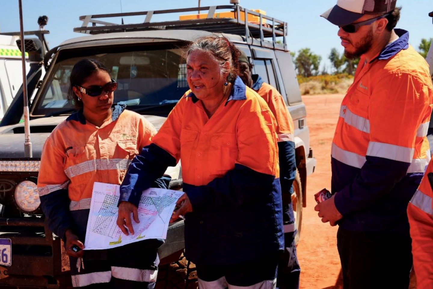
Buru Energy chief executive officer Thomas Nador said: “I am very pleased with the progress Buru is making to continue to facilitate the Rafael development. Moving to the acquisition phase of the 3D seismic survey program on schedule is a credit to a multi-disciplinary team of experienced personnel engaged in the survey. These include traditional owner heritage monitors supported by archaeologists, the field equipment operators, and Buru and Terrex supervisory personnel. The team members have all shown great diligence and resilience to ensure the safe and culturally respectful execution of the preparations for the survey. The initial results of the 3D seismic survey are expected to be ready by the end of the year, and these will not only provide enormously valuable information on the geophysical attributes of the Rafael accumulation but will also facilitate the process of prospective partner selection for this potentially transformative development.”
Terrex will use a truck-mounted “vibroseis” data collection method that involves the transfer of vibrations to the ground through a base plate mounted on a truck. The reflections of the energy, created by density variations in the earth, are recorded and processed to produce a pseudo-image of the subsurface, revealing rock layers, faults and in some cases, rock properties such as pore fluid fill.
The Rafael 1 well was drilled on 2D seismic data in late 2021 and defined a significant conventional gas and condensate resource in the Ungani dolomite reservoir and in the dolomitised Upper Laurel carbonate reservoir.
A 2022 independent review into Rafael’s volume contained within the Ungani dolomite reservoir suggested a gross contingent gas resource ranging from 59 billion cubic feet (BCF) at a low-side estimate, 260 BCF as a best estimate and 1.024 trillion cubic feet (TCF) as a high-side estimate.
The review also assigned prospective volumes, representing undrilled leads, to the Upper Laurel dolomite reservoir section, suggesting gross prospective resources ranging from a low-side estimate of 9 BCF, a best estimate of 38 BCF and a high-side estimate of 132 BCF.
The roadmap to commercialisation for Rafael requires the de-risking of subsurface uncertainties to mature the gas volume classifications from prospective resources to contingent resources and finally, petroleum reserves. The acquisition of the Rafael 3D seismic survey is a key piece of the maturation process as it will guide appraisal drilling to de-risk the uncertainties.
The high-case volume estimate for Rafael gas is particularly interesting. The 1.024 TCF estimate is tied to a column height of 634m, generally coincident with a structural closure seen on existing 2D seismic data. Pressures in the Rafael-1 well support the height, but also suggest it may be up to 900m, representing a potentially huge volumetric upside.
Interpretation of the 3D volume will provide the company with greater subsurface resolution and opens up the possibility of mapping stratigraphic traps, which are formed by changes in rock properties less obvious than larger scale faults and folds. Management has previously said the 900m column height would require an element of stratigraphic trapping.
As Buru continues work to suspend operations at Ungani in preparation for the wet season along the Kimberley coast, all eyes will be on the fast-tracked Rafael seismic volume as the company matures plans for appraisal drilling, with rig selection underway.
Watch this space.
Is your ASX-listed company doing something interesting? Contact: matt.birney@businessnews.com.au


