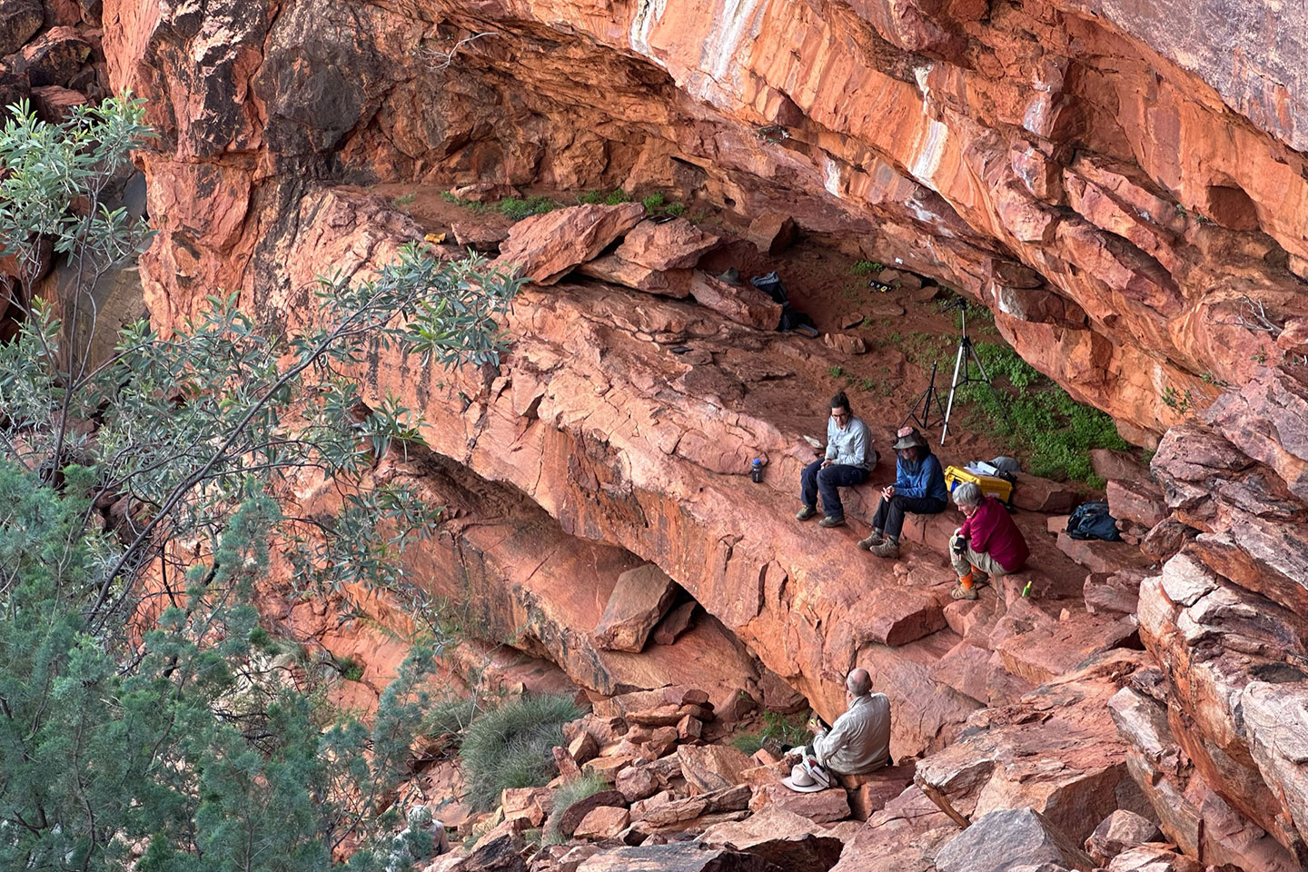

A UWA-led team of multidisciplinary researchers is working with local Indigenous communities to unlock the deep-time secrets of water sourcing in the desert, including ‘new’ discoveries of ancient rock art in WA’s north-west.
‘From the Desert to the Sea: Managing Rock Art, Country and Culture’ is a five-year collaborative investigation into how mythological narratives and rock art enable transmission of vital knowledge in Australia’s deserts.
Lead chief investigator Professor Jo McDonald, Director of UWA’s Centre of Rock Art Research + Management, said while the project team had set out to revisit known rock art sites, ‘new’ ancient sites continued to be uncovered in the process.
“Our original intent was to go back to the 800-plus sites that we recorded with communities along the Canning Stock Route between 2007 and 2010, but we’ve already found many more sites,” Professor McDonald said.
“One of our Martu traditional owner partners asked us to survey an area that had fallen out of contemporary use but was connected to other places they knew about. What we found was one of the most intact cultural landscapes I’ve ever seen, completely unaffected by pastoralism, mining or tourists.”
Rock art sites in the Western Desert and Pilbara are believed to number in the millions, with some among the oldest in the world and documenting the entire human occupation of Australia.
Professor McDonald said the ARC Linkage project ‘From the Desert to the Sea’ aimed to produce a more nuanced understanding of Aboriginal settlement and land use in north-west Australia.
“All three Aboriginal organisations we work with have contemporary cultural links that allow us to understand their chains of social connection,” she said.
“We’re working with them to better understand how rock art and the Dreaming stories encode information about where water is in the desert.
“The Martu people, for instance, have exclusive native title rights to water across an area twice the size of Tasmania because they were able to name all the water sources across their land.”
Professor McDonald said Aboriginal people’s understanding of ancient connections to place and time in the landscape was not so dissimilar to that of archaeologists using western scientific training.
“As archaeologists we record evidence of occupation in centuries and millennia and that isn’t necessarily inconsistent with the way Aboriginal people see their connection to Country.
“As far as they’re concerned, they’ve always been there – the landscape was created by their ancestors and ancestral beings.”
Knowledge is key to managing threats to Australia’s cultural heritage in the state’s north-west, according to Professor McDonald.
“While the resource sector hasn’t yet had a major impact on the sandy desert region, the Martu native title lands have over 500 mining tenements and that has the potential to have a massive impact over the next 20-to-30 years,” she said.
“Unless we know what’s there and its cultural values, it’s hard to protect it.
“It’s a strong driver for all of the communities we’re working with to get systems in place that allow them to know what’s theirs so they can make rational and timely responses to future threats.
“Ultimately I want all three communities that we’re working with to feel they have a greater capacity to be on Country and to manage their significant heritage places.”
Professor McDonald said while some culturally significant sites were so remote as to be effectively protected by isolation, that could quickly change.
“As soon as you build a major road or open up an area to tourism, all sorts of uncontrolled things can happen,” she said.
Although immersed in ancient and fragile landscapes, Professor McDonald’s team also uses new technology to enhance research outcomes.
“These days we routinely use drones to visualise the landscapes we work in and help us map where the grindstones or rock art sites are,” she said.
“We will also be using remote (satellite) sensing for water, which hasn’t been used for predicting heritage locations in these desert environments before.
“Subterranean water sources feed into the myriad Aboriginal soaks and rock holes and you can’t understand this interconnectedness any other way.
“We’re also using apps that create 3D images of stone structures and caves, allowing instantaneous visualisation of heritage features – we couldn’t do this 10 years ago.”
UWA is working with chief investigators at Curtin University, The University of Melbourne, The University of New South Wales, The Pennsylvania State University and Utah State University, in collaboration with partner organisations Murujuga Aboriginal Corporation (MAC), Mungarlu Ngurrarankatja Rirraunkaja Aboriginal Corporation RNTBC (MNR), and Jamukurnu Yapalikurnu Aboriginal Corporation (JYAC), with funding from Woodside, BHP, Newcrest Mining, and with partner investigators from the Western Australian Museum, Department of Biodiversity, Conservation and Attractions, and Desert Support Services.
Learn about the facilities and world class expertise available for businesses working in partnership with UWA https://www.uwa.edu.au/Industry.
Contact our team to discuss facilities available to help solve your business challenges:


